LiDAR has been developing since the 1930s when EH Synge used searchlights to study the atmosphere. Until the Global Positioning System became available for public use, the federal government used LiDAR as a defense tool, and scientists used LiDAR to study air pollution. After that, other fields would adopt and adapt LiDAR for their uses. By 1960 aerospace applications had become mainstream. In the late 1980s, inertial measurement units (IMUs) were coupled with GPS making LiDAR all the more accurate for scientists. By the mid-1990s, LiDAR scanners were mainly used for topographic mapping purposes. Compared to where it was in the mid-1990s, LiDAR technology has leaps and bounds regarding size, affordability, and how we can survey for you.
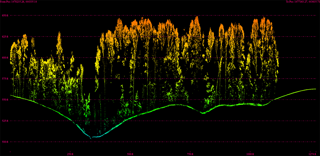
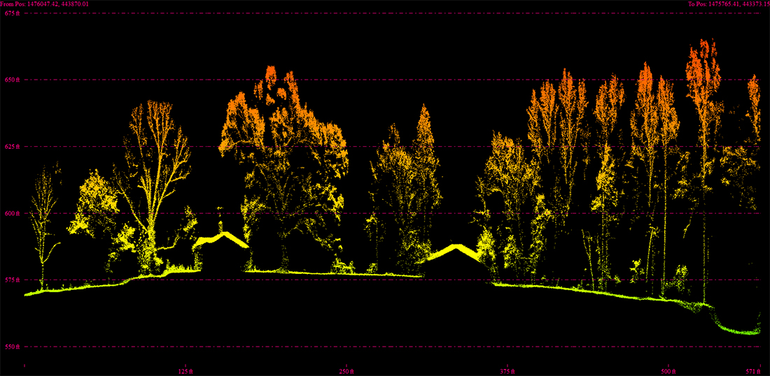
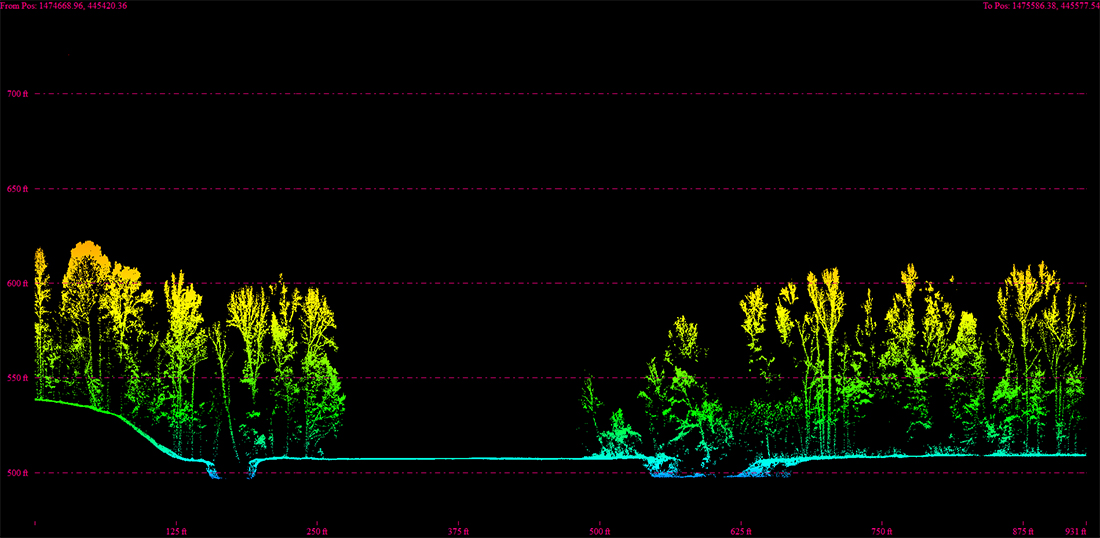
Light detection and ranging (LiDAR) uses a mounted camera underneath a drone to fire a series of lasers toward the earth's surface. The measure is the exact distance based on the time it takes for the light to reach the LiDAR source. Our team then uses the data to create a 3D point cloud-like image. The laser pulses can penetrate the spaces between branches and leaves, making them suitable for mapping surfaces dense with vegetation. 3D laser scanning is another name for Aerial LiDAR in some cases.
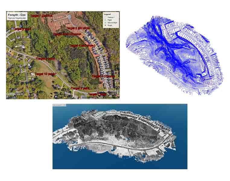
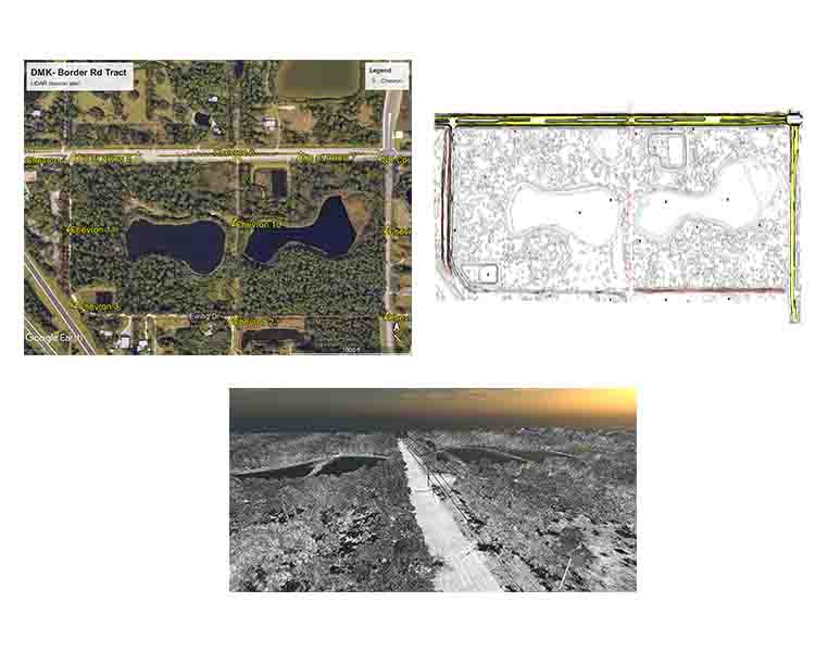
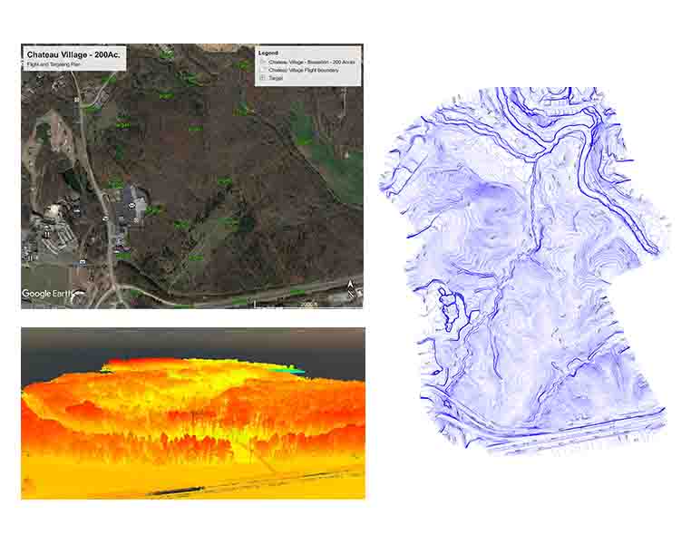
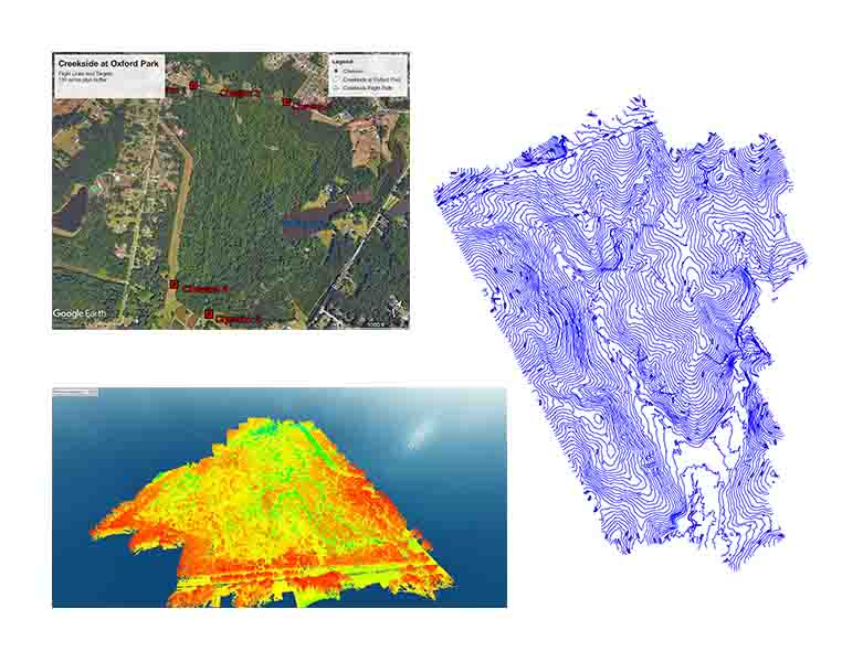
Aerial LiDAR creates a highly accurate, detailed topographic map of your specific project down to the forest floor, even in dense vegetation, as the lasers pass through the layers of leaves and grass. LiDAR with drone technology can map thousands of acres and provide massive datasets specific to a predetermined area and flight path.
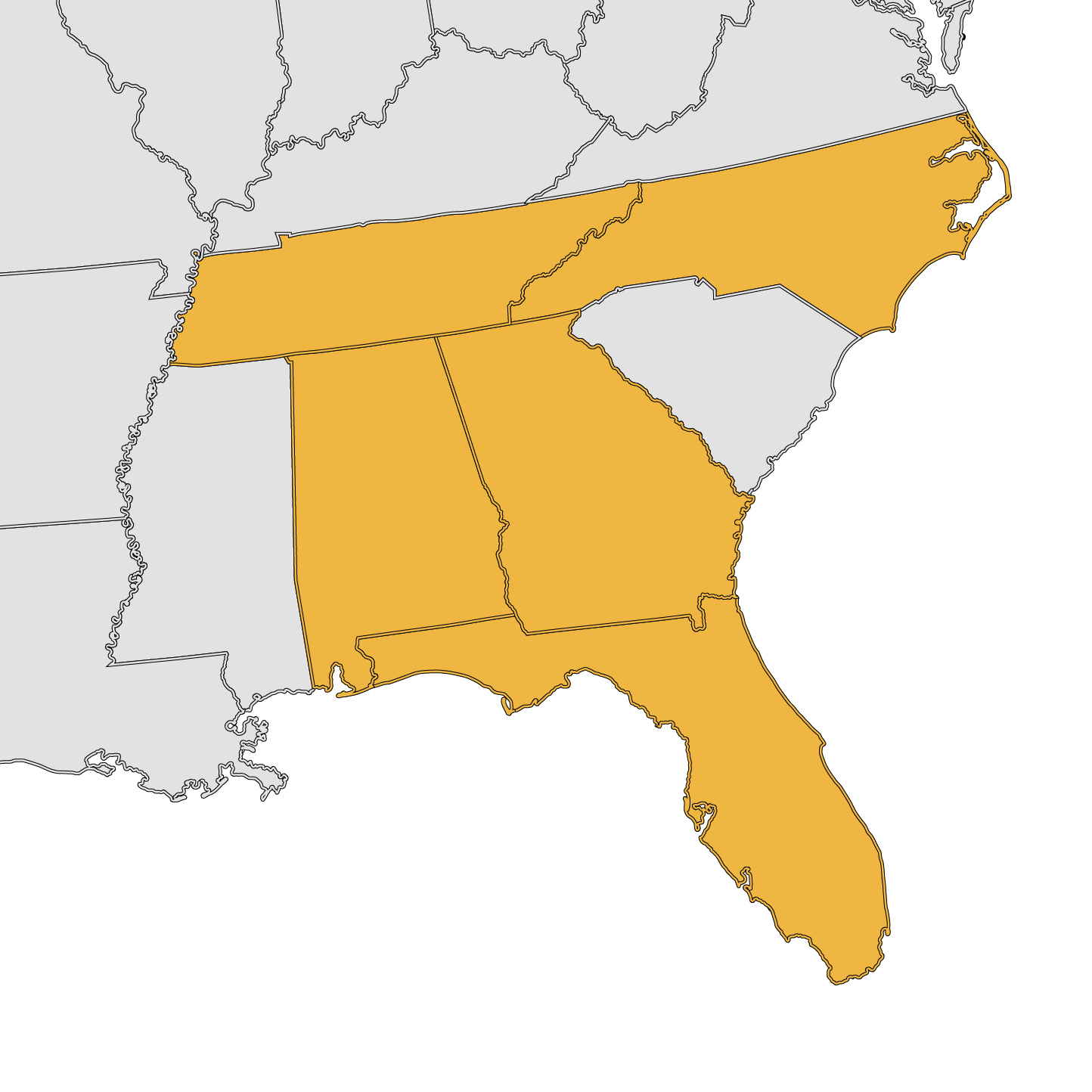
Remote Mapping Group is licensed in Georgia, Florida, Alabama, Tennessee and North Carolina. We are also ASPRS and AUVSI-TOP certified, meaning we are qualified, peer-approved UAS mapping professionals. We demonstrate a deep understanding and mastery of mapping principles and will work with you to get the project results you need.
Project Types