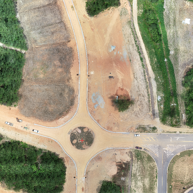
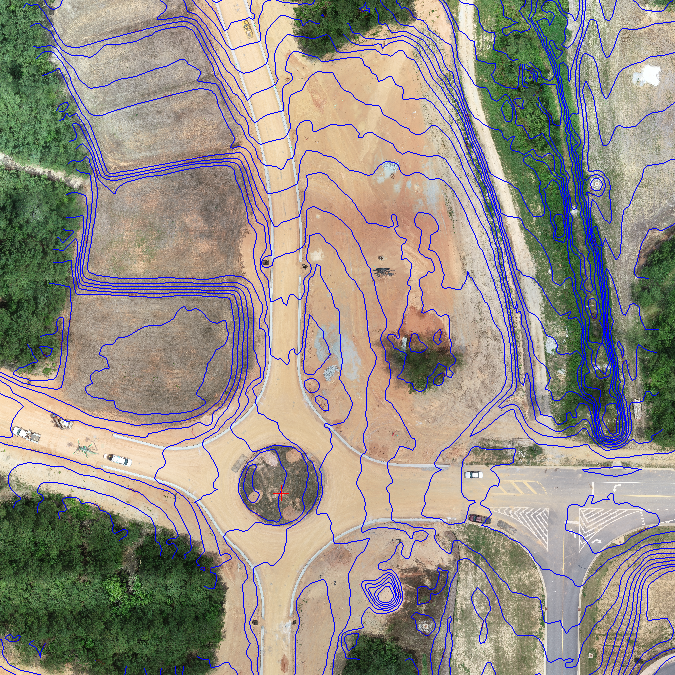
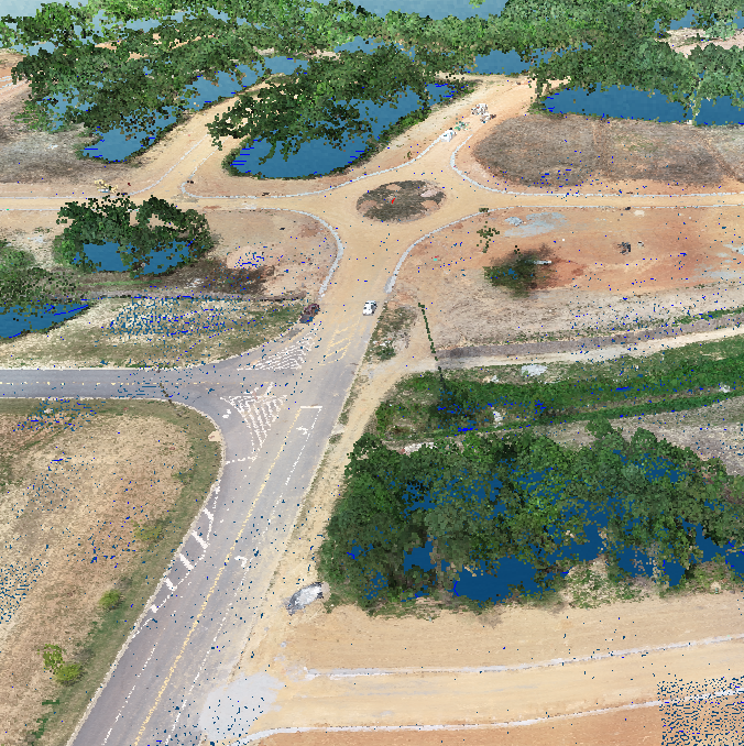
Aerial photogrammetry involves capturing multiple images of the landscape, which are then stitched together to form a 3D composite image. Photogrammetry is defined as the science of measuring features from a photograph. Broken down, Photogrammetry is three words: 'photo'=light, 'gram'=drawing, 'metry'=measurement. This process results in a more photographic model than what would be produced with LiDAR, making it good for projects that require visual details of the features on your site.
Photogrammetry uses triangulation. Triangulation is a surveying method that measures the angles in a triangle formed by three survey control points. The camera takes photos of the object from two locations creating lines of sight that can be developed from each camera to points on the object. The sight lines are then mathematically intersected to produce the 3D coordinates of interest.
Aerial Photogrammetry works on the same principle. The camera is mounted to an aircraft, drone in our case, and pointed to the ground. The craft then flies a predetermined flight path taking overlapping photos the entire time it is in the air.
Aerial photogrammetry quickly covers areas at lower costs with great detail, more so than a traditional survey may provide, and with fewer labor costs. In addition, this type of survey gives a birds-eye-view of the property in question.
Aerial photogrammetry also has its drawbacks. Because Photogrammetry is a series of photos, the resulting image is of the treetops, fields, or whatever lies at the topmost layer; unlike LiDAR, photogrammetry does not penetrate vegetation. Again, photogrammetry is photo-based, so the model may not include structures such as power lines.
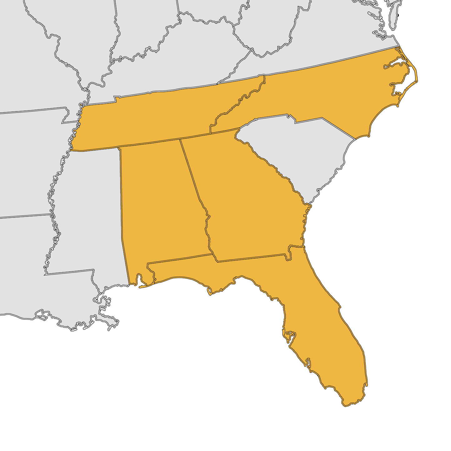
Remote Mapping Group is licensed in Georgia, Florida, Alabama, Tennessee and North Carolina. We are also ASPRS and AUVSI-TOP certified, meaning we are qualified, peer-approved UAS mapping professionals. We demonstrate a deep understanding and mastery of mapping principles and will work with you to get the project results you need.