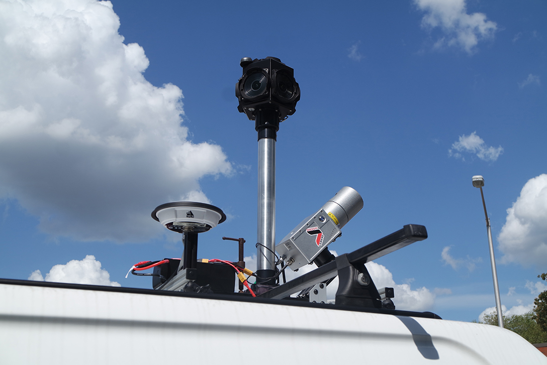
Mobile LiDAR provides a way to quickly and accurately collect data on corridors and roadside assets and infrastructure. These systems are comprised of a GNSS antenna, laser scanner, and camera. The ability to capture data at high speeds during the day or night make mobile LiDAR a versatile and powerful method of surveying.
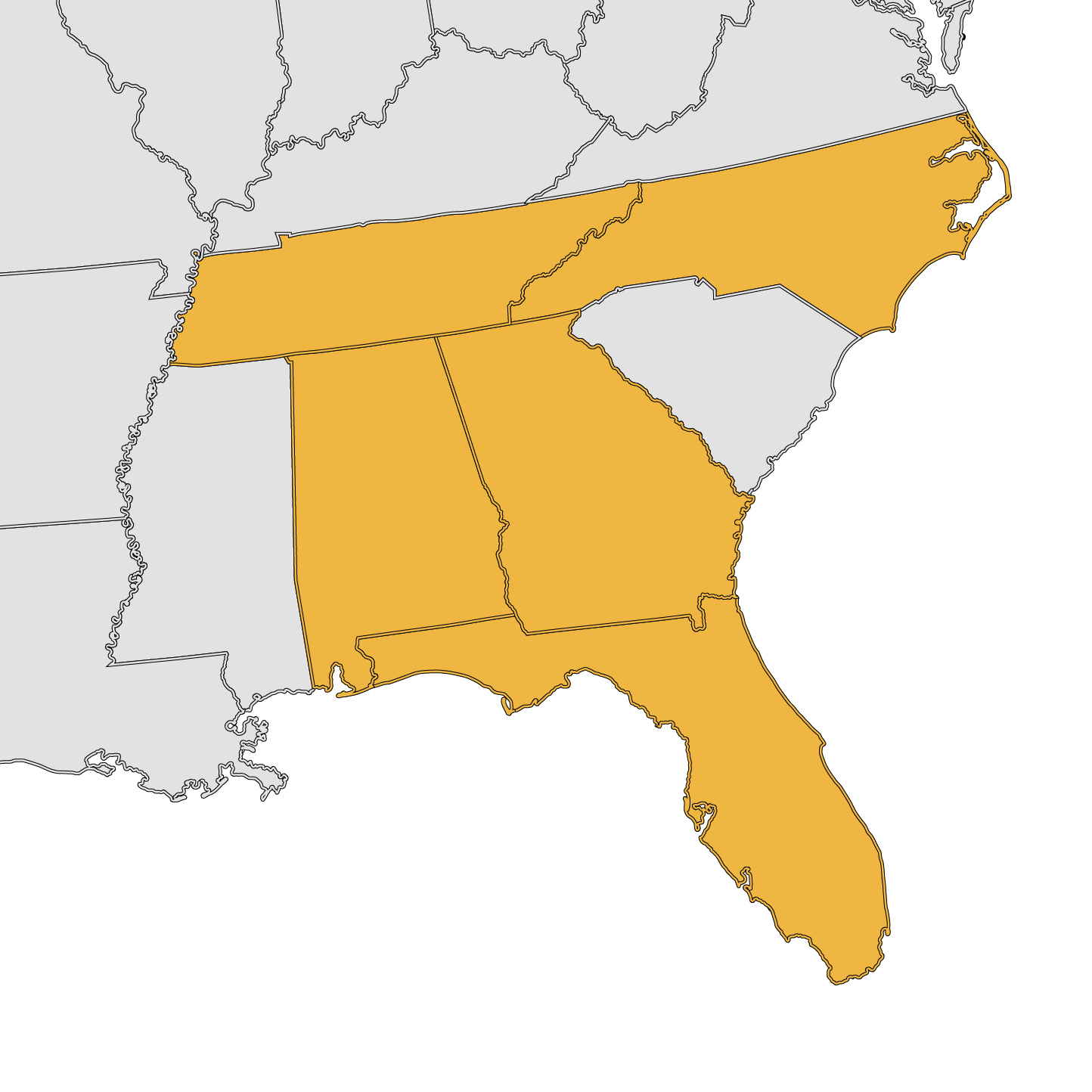
Remote Mapping Group is licensed in Georgia, Florida, Alabama, Tennessee and North Carolina. We are also ASPRS and AUVSI-TOP certified, meaning we are qualified, peer-approved UAS mapping professionals. We demonstrate a deep understanding and mastery of mapping principles and will work with you to get the project results you need.